About Hill Top Views
Hill Top Views is a 3D map of the Earth and Moon. The Earth map includes labelled models of thousands of hills and mountains, while the Moon map shows how the Moon appears at any time in its monthly cycle of phases.
Landscape models can be exported as SVG graphics for use in artwork, or as STL files which can be imported into 3D rendering or 3D printing software.
The Earth maps are intended to represent natural landscapes in 3D, and do not include buildings, bridges, and other man-made structures. However, they do include some larger roads, rivers, railways and regional boundaries, whose outlines are taken from Open Street Map.
Data sources for Earth maps
The maps are based on topographic data collected from NASA's Shuttle Radar Topography Mission (SRTM) in 2000, which covers all latitudes between 60°S and 60°N to a resolution of around 90 metres. This is combined with data from Open Street Map, which is used to identify lakes, coastlines, rivers, roads, train lines, and regional boundaries.
The names and positions of mountains are taken from various catalogues. In Britain and Ireland, much of the data was taken from the Database of British and Irish Hills. The positions of mountains elsewhere in the world were taken from Open Street Map.
Terrain colors and controls
The maps are colored according to terrain elevation, with low-lying terrain colored green, and higher terrain colored grey or white.
The color scale can be adjusted to give maximum contrast to peaks and valleys at particular altitudes. This is done by adjusting the elevation sliders on the right-hand side of many of the maps.
All of the 3D landscape models include a calculation of how sunlight will illuminate the terrain at different times of day. You can use the "Time of Day" slider to move the Sun from east to west. Some of the most spectacular views are to be had around dawn and dusk, when the Sun is low in the sky and casts long shadows.
The fog control lets you vary how far into the distance you can see. Some of the views on this site are quite optimistic about how far into the distance you are likely to be able to see, and applying fog may be helpful if you're trying to line up a diagram with a real photo.
Dominic Ford

I am a Senior Research Associate at the Institute of Astronomy, Cambridge UK, working as a software engineer on the European Space Agency's PLATO mission. I am responsible for developing PLATO's exoplanet search pipeline (EAS), which will become operational when the spacecraft launches in 2026-7.
I previously led the development of the data-analysis pipeline for 4MOST's spectroscopic surveys of the Milky Way in Sofia Feltzing's group at Lund Observatory, Sweden (2017–2019). 4MOST will observe the spectra of tens of thousands of astronomical targets every night, generating a volume of data that poses unique challenges. Machine-learning techniques are likely to offer the only affordable way to analyse such a large dataset, but the results require careful interpretation.
In my spare time, I work on many science communication and amateur astronomy projects. In 2022, I was awarded the British Astronomical Association's Horace Dall Medal for the development of software systems to benefit amateur astronomers.
Books
Below are a selection of books I have authored or co-authored. Click on the covers for more details:
Night Sky Almanac, 2027
Night Sky Guide (UK), 2027
Night Sky Guide (US), 2027
Night Sky Guide (South), 2027
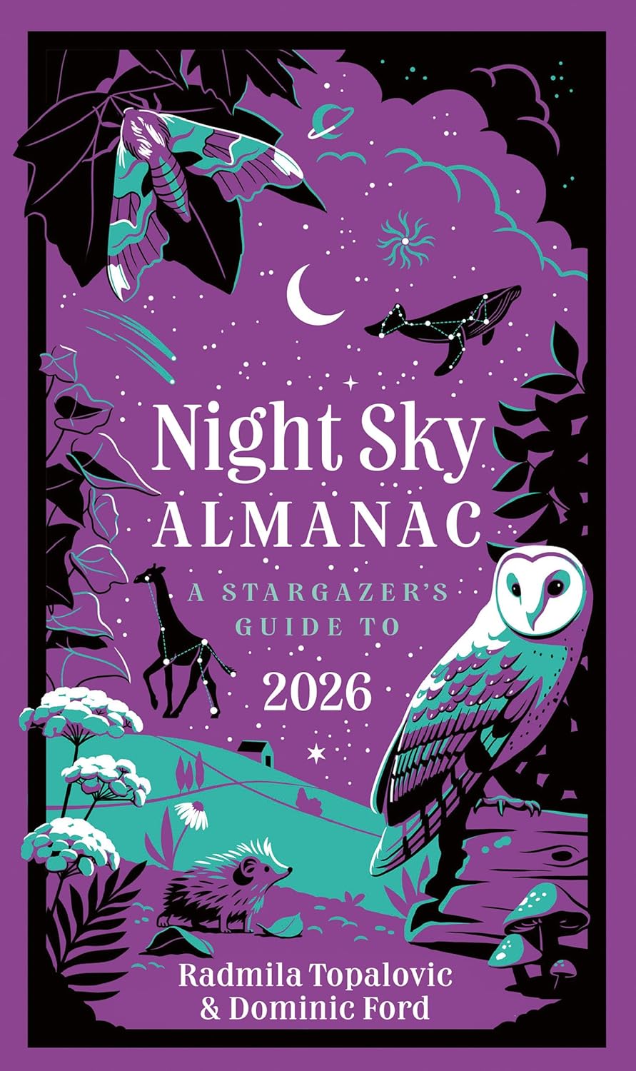
Night Sky Almanac, 2026
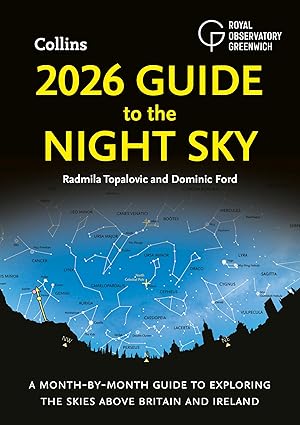
Night Sky Guide (UK), 2026
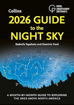
Night Sky Guide (US), 2026
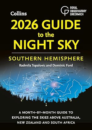
Night Sky Guide (South), 2026
Observer's Guide to Planetary Motion, 2014
Amateur astronomy projects
- In-The-Sky.org – A guide to what's visible in the night sky, customised to wherever you live on Earth. The site has grown to include an extensive searchable catalogue of astronomical events spanning the years 1950 to 2300, as well as a planetarium and charts/tables for individual objects.
-
Astrophotography archive – A searchable online database of amateur astronomical images, developed in collaboration with the British Astronomical Association.
As of March 2025, the archive contains over 85,000 images, searchable by object, object type, date, etc. The BAA's archives go back many decades and we are working to digitise many of the older images and glass plates, with the aim of documenting how amateur astronomy has changed through the 20th century.
In addition to the BAA's archive, I also maintain a much smaller personal archive of my own astrophotography.
-
Pi Gazing – A fun project to create a network of motion-sensitive cameras which record shooting stars, satellites, aircraft, and anything else in the sky that moves. When the same object is spotted simultaneously from multiple observing sites, its three-dimensional trajectory can be triangulated.
I use off-the-shelf security cameras, with Raspberry Pi computers housed in the camera enclosures to do real-time analysis on the images. Each observatory is highly autonomous, using astrometry.net to precisely determine the sky area that each camera is pointing at, and a GPS receiver to determine the camera's location.
This project ran from 2014–2016 in collaboration with Cambridge Science Centre under its former name of MeteorPi. Between 2020–2022, the project observed again under its new name of Pi Gazing. The code is all freely available on GitHub.
Other web-development projects
A more complete archive of my amateur software-development projects can be found on GitHub.
- ScienceDemos.org.uk – A collection of fun interactive online science demos, implemented in Javascript.
- JSPlot – An open-source Javascript graph-plotting and vector-graphics library, designed for embedding scientific charts in websites. I use this library extensively throughout the websites I maintain.
-
HillTopViews.org.uk – A three-dimensional interactive terrain map of the Earth and Moon. The Earth maps are based on altitude data collected by NASA's Shuttle Radar Topography Mission (SRTM) in 2000, combined with additional open-source data from Open Street Map. The Moon maps are based on a digital elevation model (DEM) from the Lunar Orbiter Laser Altimeter (LOLA; Smith et al., 2010), an instrument on the NASA Lunar Reconnaissance Orbiter (LRO) spacecraft (Tooley et al., 2010).
In both cases, the data is displayed using a custom-built three-dimensional Javascript rendering engine.
- Retrocomputing archive – In the 1980s and 1990s, I learnt to program using 8-bit Acorn and Commodore computers. Here you can find a preserved archive of files recovered from cassette tapes and floppy disks from that era.
- Dominic's photos – When I'm not doing other things, I dabble in amateur photography. You can find some of my photos here.
- Family photos – An archive of around 5,000 old family photos, going back to the 1950s (password protected).
Older projects
- The Observer's Guide to Planetary Motion – My book, which describes much of the science behind how In-The-Sky.org does its calculations.
- Pyxplot – A graphing and vector graphics package which I wrote in 2008–2012.
- GrepNova – An automated image-comparison tool which I wrote in 2005 for amateur astronomers who hunt for supernova. This tool was used by Tom Boles, who currently holds the world record for the largest number of supernovae discovered by any single individual.
- Naked Astronomy – Between 2012 and 2014 I worked for the Naked Scientists in Cambridge, where I produced the monthly STFC-funded podcast Naked Astronomy. I also spent one day a week in the newsroom of BBC Radio Cambridgeshire, acting as a science advisor.
- Square Kilometre Array – Between 2007 and 2012, I worked at the Cavendish Laboratory, Cambridge, on feasibility studies for the use of Graphics Processing Units (GPUs) to build a correlator for the SKA.
- PhD Thesis – I was awarded my PhD from the University of Cambridge in 2008, where my supervisor was Prof Paul Alexander. I built a model of the infrared spectra of dusty star-forming galaxies, which were being observed in large numbers at that time by Spitzer.
Ancient projects
In the 1990s I was the kind of geeky teenager who sat in my bedroom writing computer games for my Acorn Electron. I even got a couple of them published. Though the reviewers spotted, quite correctly, that I wasn't very good at making up story lines.
- Shipwrecked – Published here (1996) and reviewed in detail here. In the unlikely event you want to try and complete it, you may find this solution useful. It even got ported to the Commodore 64 and some YouTubers have recently made some videos about it (!!).
- Jupiter III – The sequel to Shipwrecked, published here (1996) and reviewed in detail here. This was my first attempt at high-speed scrolling graphics. In the unlikely event you want to try and complete it, you may find this solution useful.
Copyright information
All of the information and diagrams on this website are released under a Creative Commons Attribution 3.0 Unported License. . You are free to reproduce them for any purpose, but must credit Hill Top Views.
All of the information presented on this website is derived from public domain sources. The NASA SRTM dataset is publicly available under a US Government License. The Database of British and Irish Hills is licensed under a Creative Commons Attribution 3.0 Unported License.
Contact details
You can email me at
 .
.